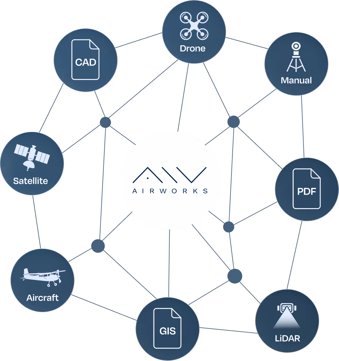
All Your Project Details in One Place
Once your project is underway, Automate™ becomes your go-to platform for tracking scope, progress, and file delivery.
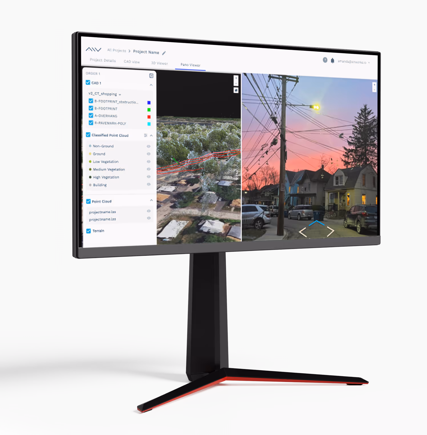
Live Project Dashboard
View project milestones and expected delivery dates.
All Files in One Place
Access all processed files in your chosen format.
Export in Any Format
Compatible with your preferred CAD, GIS, or specialized software tools.
Ongoing Support
Message our team or request clarifications from within the platform.